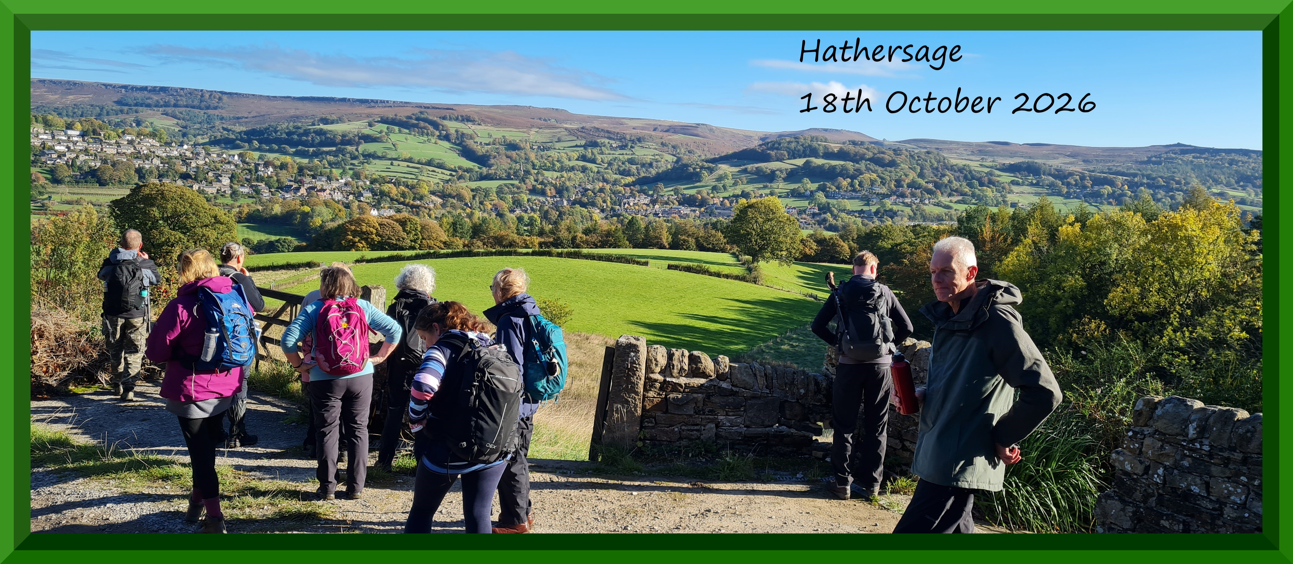
Hathersage, Derbyshire . Sunday, 18th October, 2026
'A' Walk - Leader - John Elliott. Dist.-11.5 miles. Ascent - 2135 ft. Grade - Hard. Anticlockwise. This walk is quite challenging in parts, as the total ascent reflects, but the rewards more than make up for this.
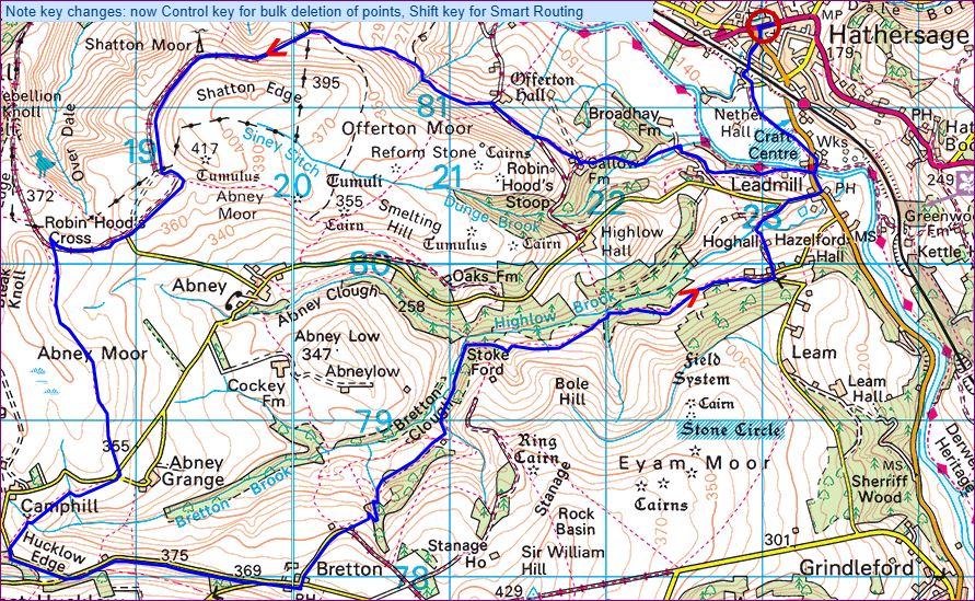
Today’s walk starts in Hathersage. We head down to Leadmill and then in a Westerly direction climb up to Callow Farm which is our initial warm-up! It’s then about a 15-20 min walk to our coffee stop at Old Clough. We then walk via Offerton Hall and Shatton Moor (389m) to cross 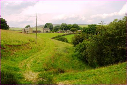 Abney Moor. It’s then onto Great Hucknall and a steady walk up a quiet road for about 500m to The Barrel Inn at Bretton.
The Barrel Inn pub dates back to 1597 and stands on a table of land some 1300 ft above sea level and proudly claims to be the highest pub in Derbyshire! Its panoramic views of the majestic Hope Valley and the Peak District National Park are magnificent and on a clear day we will be able to enjoy views over five counties.
After being fed and watered and feeling re-energised after our lunch stop, we will follow the trail through Bretton Clough and Highlow back to Hathersage. Now you 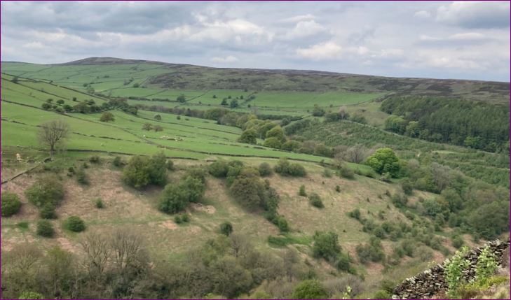 would think this would all be descending down to Hathersage, but you would be wrong! There are quite a few `Ups’ along the way down which all adds to the fun! We eventually reach Tor Farm and Hoghall which leads us back to the road for a short walk to reach our coach home! A great walk with fantastic scenery. Fingers crossed for good weather!
As part of the route was muddy, I would recommend walking poles and gaiters
'B' Walk - Leader - Barry Osborne. Dist. - 8.5 miles. Ascent - 1240 ft. Grade - Mod. + Clockwise.
Hathersage
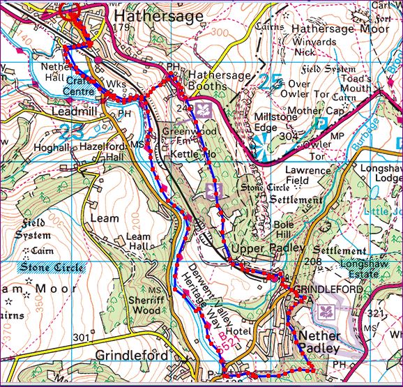 Today our walk starts in the centre of Hathersage . After we leave the coach we head down Dore lane until we come to to a path heading south east beside two fields . We then proceed across the B6001 road and onward beside the river Derwent for a few hundred yards to our first climb of the day. Here we will take our time up the stiff climb to Hathersage Booths , being very careful crossing a railway line on the way .
 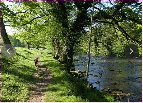 This is a tricky climb down, where a walking stick is a necessity . However we will be careful and take it very steady until we reach the B6521 road . Crossing the road we once again reach the River Derwent . We then follow the river through a few fields back to Hathersage. On the way back beside the river we will make our second and last stop on the day for late lunch
Hathersage is a well known and scenic village in the Peak District nestled in Hope Valley and a destination for the club in the past as it offers some lovely walking in the area. It is very popular among walkers and day trippers who are attracted to its shops and places to eat and drink and its close proximity to the surrounding countryside so it is usually buzzing with activity.
It even has a heated open air swimming pool and it is here at the pool’s café where we will have our morning refreshments before we set off on our 'C' walk.
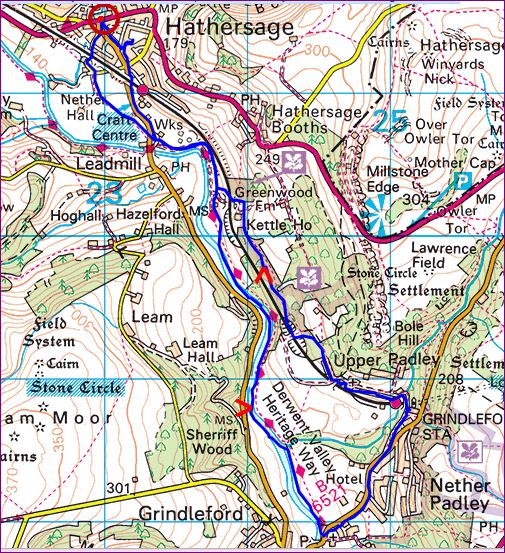 Ours is quite literally a walk of two halves, the first three miles being totally flat followed by a short uphill climb and then undulating for a while before we drop down to meet the footpaths back along the valley and into Hathersage.
There are no stiles and the footpaths are good but they do include walking through woodland so it is important to be careful while walking over exposed tree roots and rocks.
After leaving the café the walk itself takes us South along the roadside for just over half a mile, passing under the railway bridge, until we turn off onto the Derwent Valley Heritage Way. We will walk alongside the River Derwent, through Coppice Wood that belongs to the Longshaw Estate, all the way to Grindleford Church. This is the three-mile point (almost half way) and we may have a short rest here before heading uphill in the direction of Grindleford Station.
Depending upon the weather we could have our lunch stop outside of the station where there are toilets for customers. Alternatively, if we walk on for less than half a mile, there is a covered area behind Padley Chapel where there is plenty of room to sit and relax while we eat our sandwiches.
It is gradual downhill now, back towards Hathersage, through 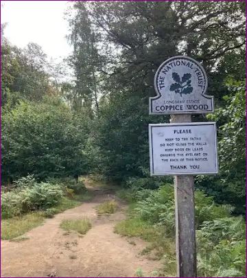 Rough Wood and back onto the lane that we walked on earlier, as we retrace our steps to the main road. We will cross over the road when we reach it and through a gate so as to follow the lane back rather than the roadside, entering Hathersage opposite The George Hotel close to where we left the coach at the start of the day.
 There should be plenty of time for us to visit one of the pubs or cafes or browse around the shops before we meet up with everyone else to board the coach.
I hope that you will join me on this walk. There is the possibility for anyone who wants to avoid the second half of my walk to retrace their steps back into Hathersage along the flat, providing that they don’t leave the group alone for safety reasons.
*******************************************************************************************